Apple has quietly updated Apple Maps to include public transit directions for another major U.S. city, adding transit information for Phoenix, Arizona.
AppleInsider:
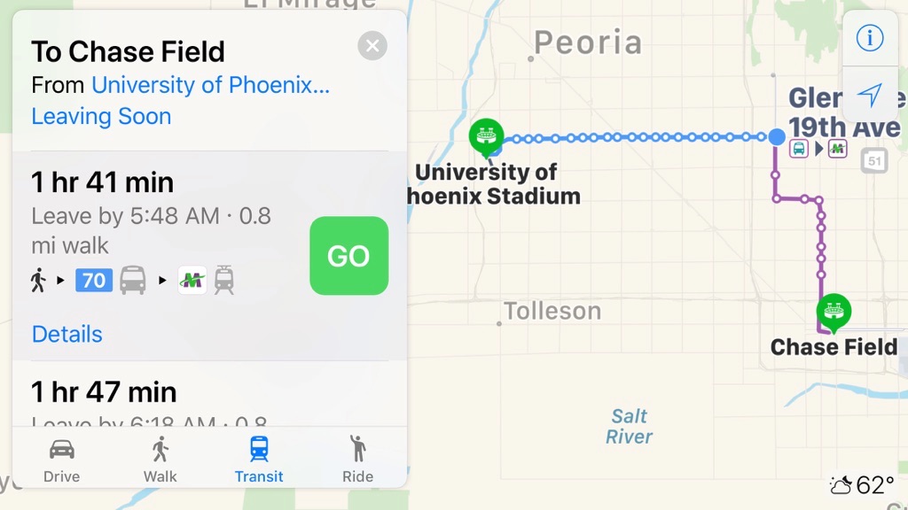
People with an iPhone, iPad, Mac, or Apple Watch can get around by bus and train within the city itself, as well as various suburbs like Mesa, Scottsdale, and Tempe. Apple’s Mesa data center, however, is out of range.
Apple has yet to update its iOS feature availability page, to include the addition. The page lists the cities around the globe which the Maps app offers transit directions for. Cities include:
- Adelaide, Australia
- Alabama, US
- Atlanta, GA
- Austin, TX
- Baltimore, MD
- Berlin, Germany
- Boston, MA
- Brisbane, Australia
- Budapest, Hungary
- Calgary, Canada
- Chicago, IL
- China
- Cincinnati, OH
- Cleveland, OH
- Columbus, OH
- Dallas, TX
- Denver, CO
- Detroit, MI
- Edmonton, Canada
- Honolulu, HI
- Houston, TX
- Ireland
- Japan
- Kansas City, MO
- Los Angeles, CA
- Madrid, Spain
- Melbourne, Australia
- Mexico City, Mexico
- Miami, FL
- Minneapolis, MN
- Montréal, Canada
- Netherlands
- Nevada, US
- New Orleans, LA
- New York City, NY
- Ottawa, Canada
- Paris, France
- Perth, Australia
- Philadelphia, PA
- Pittsburgh, PA
- Portland, OR
- Prague, Czech Republic
- Québec, Canada
- Rio de Janeiro, Brazil
- Sacramento, CA
- Salt Lake City, UT
- San Antonio, TX
- San Diego, CA
- San Francisco, CA
- São Paulo, Brazil
- Seattle, WA
- Singapore
- Sydney, Australia
- Taiwan
- Toronto, Canada
- UK
- Vancouver, Canada
- Victoria, Canada
- Washington, DC